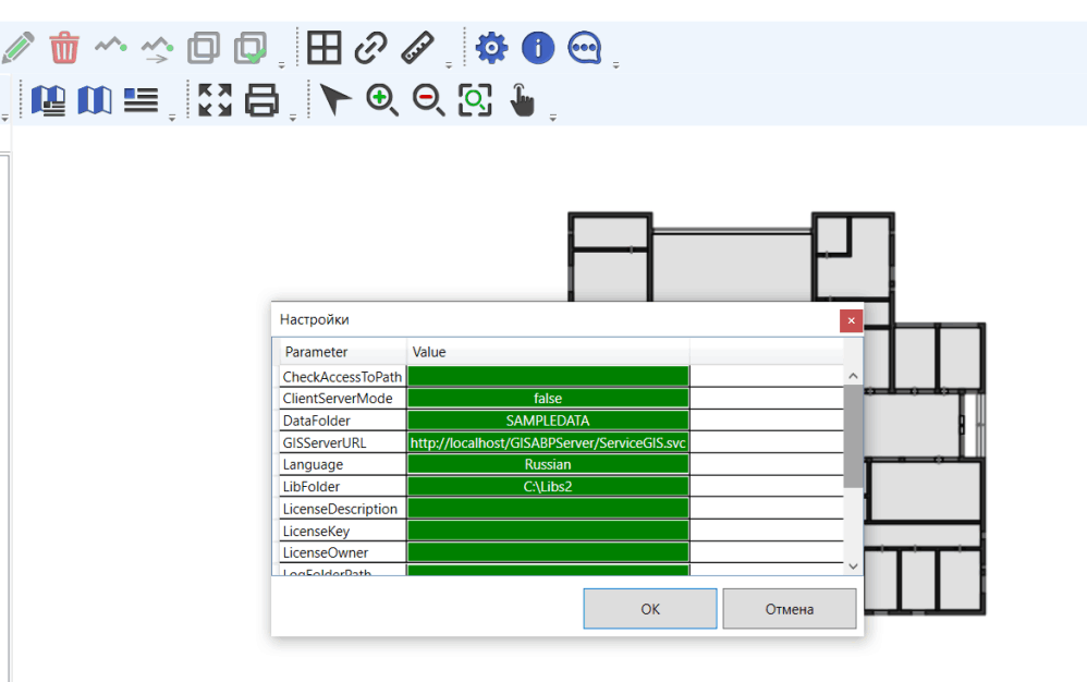
You must fill in the following parameters:
· CheckAccessToPath – in client-server mode, the value of this parameter must be empty;
· ClientServerMode – in client-server mode, the value of this parameter must be true;
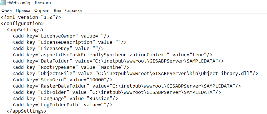
· DataFolder – in client-server mode, the value of this parameter is not used;
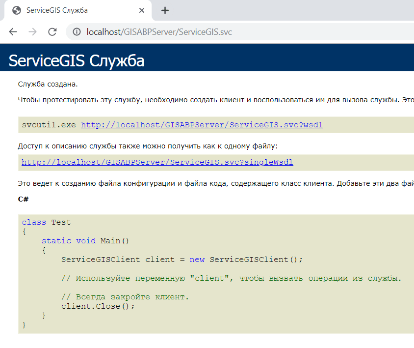
· GISServerURL – Web service (Server) address;
· Language – possible values of the parameter Russian and English;
· LibFolder – in client-server mode, the value of this parameter is not used;
· LicenseDescription, LicenseKey, LicenseOwner – license key settings. The application will work with empty parameters of the license key for 30 days from the moment of the first installation - this is a test period;
· LogFoldePath – folder for recording diagnostic files (log files). If you do not need to create diagnostic records, leave this parameter blank.;
· ObjectsFile – library file, which contains the main functionality of the geographic information system. As a rule, the parameter value is specified by the relative path of ObjectLibrary.dll, or by the absolute C:\Program Files (x86)\ABP \GIS-ABP\ObjectLibrary.dll;
· RasterDataFolder – folder in which raster layer description files will be placed;
· RootTypeName – name of the root data type used in the ObjectLibrary.dll library; the parameter value should be - Machine;
· StepGrid – grid line pitch;
· ToleranceSnapGrid – sensitivity of automatic snap to grid lines;
After editing the parameter values, click OK - the configuration is completed.
